Profiling the Italian Alpine arc in large format lithographic maps, 1881
€ 640
Il profilo geometrico delle Alpi. Set with 5 (of 8) chromolithographed maps on 6 (of 9) folding full sheets in large format. Milan, s.a. [ca. 1881]
Out of stock
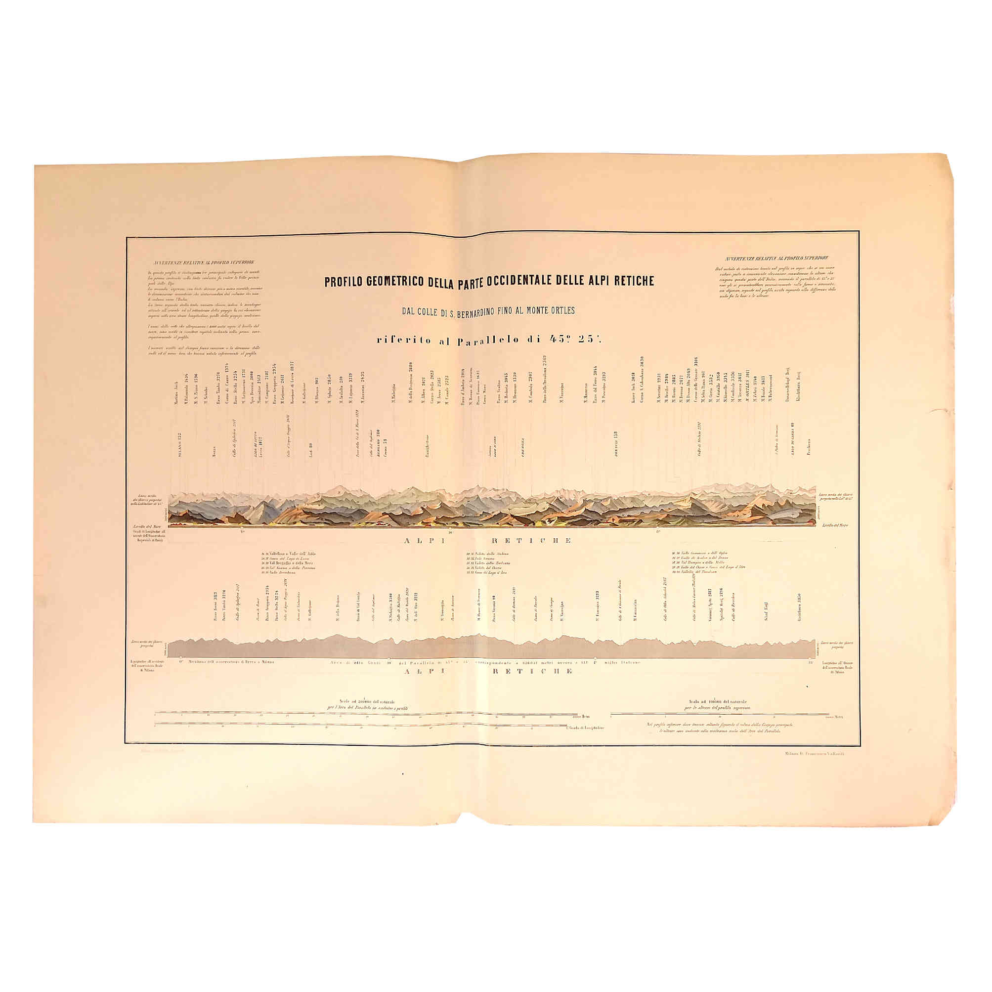
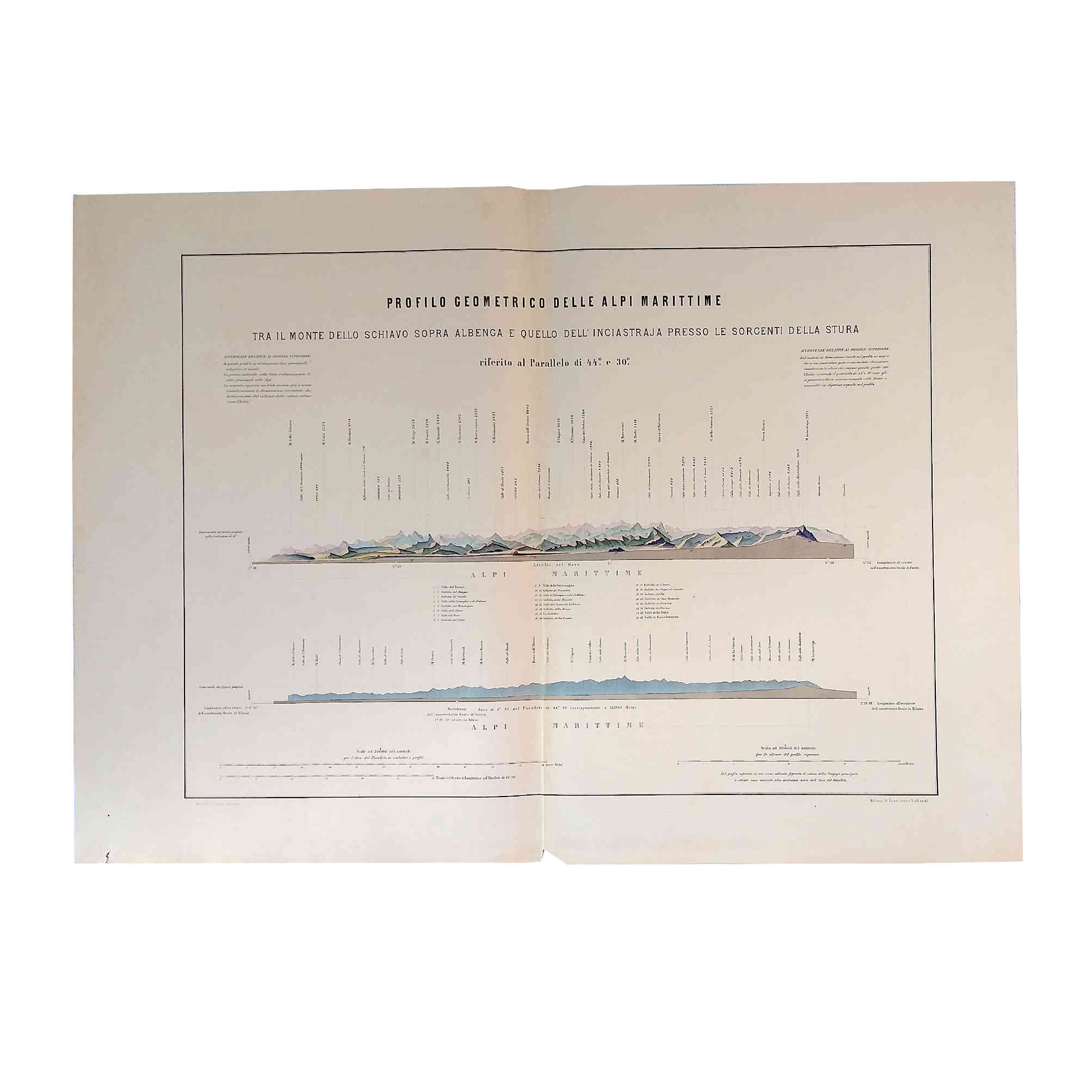
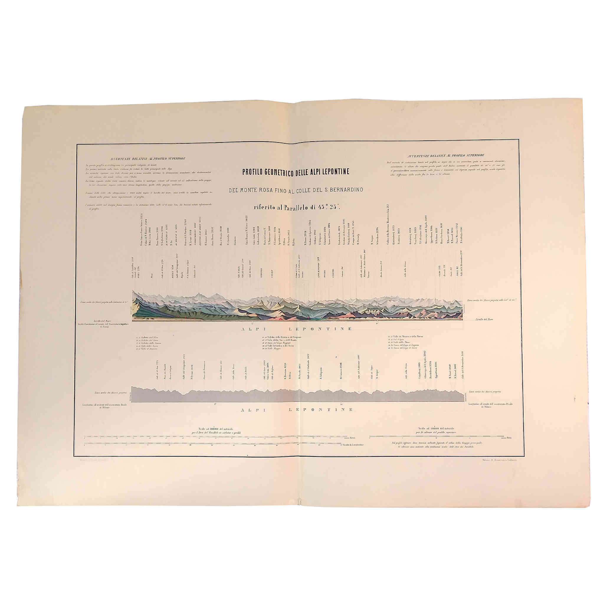
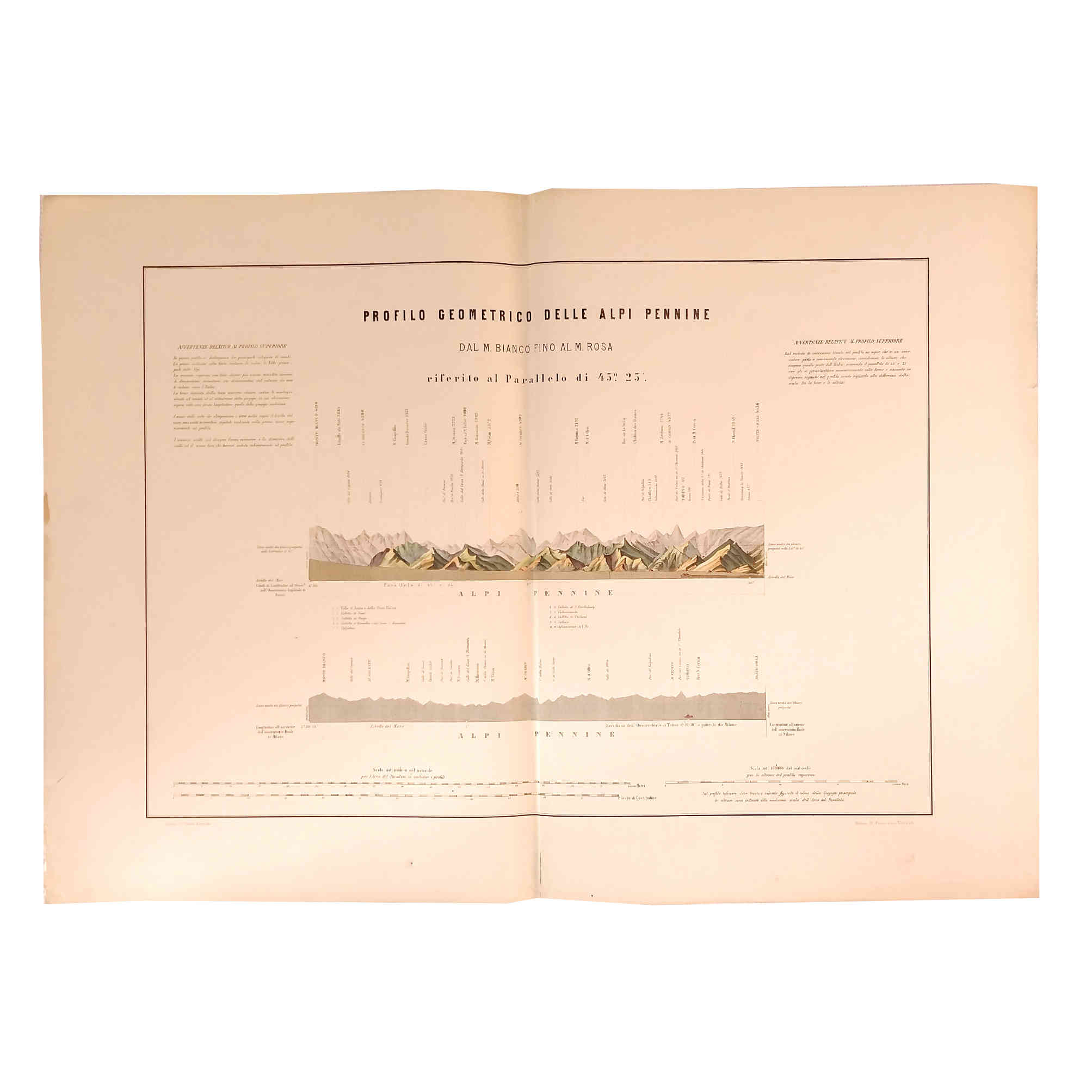
Il profilo geometrico delle Alpi. Set with 5 (of 8) chromolithographed maps on 6 (of 9) folding full sheets (Alpi Maritime, Alpi Pennine, Alpi Lepontine, Alpi Retiche occidentale). With title cartouches, altitudes and names of peaks, explanatory text, numerical and graphical scales (ca. 1:100.000 and 1:200.000 resp., in Italian miles and meters), etc. Milan: Francesco Vallardi (Pietro Bertotti, Lith.), s.a. [ca. 1881].
84:60,5 cm [sheets], 72-67:46 cm [maps]. 6 full sheets, folded, loose as published. Chromolithography on thick machine paper.
Set with with 5 (of 8) decorative chromolithographed maps on 6 (of 9) separately published sheets profiling the Italian Alpine arc in large format.
Content: Present suite of 8 maps in 9 sheets was published around 1881 by Francesco Vallardi in Milano, available as a bound atlas as well as in single sheets. The progressive cartographic approach and the statistical data for the maps are based on Annibale di Saluzzo's comprehensive work »Le Alpi che cingono l'Italia considerate militarmente cosi nell'antica come nella presente loro condizione« (1845). In the accompanying atlas to this work Saluzzo for the first time took a measurement of the 45° parallel passing through northern Italy, thus depicting the profiles of the mountains represented in a proportionate way in their extension and in the references to geographical coordinate. The geometric profile worked out in those steel-engraved and partly coloured maps should serve as a template for various enlarged and enriched similar cartographic publications to come, mostly executed in lithography, e.g. for the atlas volume of the monumental »Italia sotto l'aspetto fisico, storico letterario, artistico e statistico«, published in 3 parts (1865), or the »Atlante corografico, orografico, idrografico e storico dell'Italia« (1880s), both published by Vallardi in Milan, who also released the present suite.
Present in this suite are: [1.] Profilo geometrico delle Alpi Marittime: Tra il Monte dello Schiavo sopra Albenga e quello dell'Inciastraja presso le sorgenti della Stura. [2.1 and 2.2.] Profilo geometrico delle Alpi Marittime: Tra il Monte dello Schiavo a settentrione d'Albenga sul Mediterraneo, ed il Monte Bianco (2 sheets). [3.] Profilo geometrico delle Alpi Pennine. Dal M. Bianco fino al M. Rosa. [4.] Profilo geometrico delle Alpi Lepontine. Del Monte Rosa sino al Colle di S. Bernardino. [5.] Profilo geometrico della parte occidentale delle Alpi Retiche. Dal Colle del S. Bernardino sino al Monte Ortles. – The accurately drawn and beautifully coloured maps feature different mountain ranges with peaks labeled, relief shown with peak heights. They also depict coordinate points, three bar scales and descriptive notes and finally also include indexes to indicate valley names.
Condition: Missing 3 maps (Profilo geometrico delle Alpi Retiche orientale, Alpi Carniche, Alpi Giulie). Some margins with minor faults, wear and shelf-wear; map 2.1 with one colour spot, paper slightly time-stained.
Reference: Bibliografia Italiana, year XIV (1880), p. 179 ( (Advertisment of publications by Vallardi, Milan).
All 5 maps are available separately.


